Right.
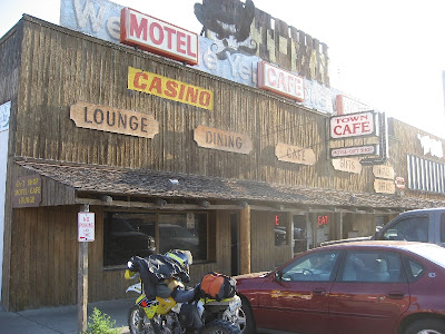
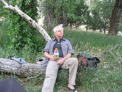
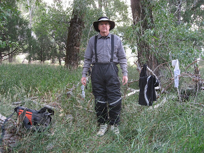
Kim, Tom, & I met in Jerome this last friday. We took the perkinsville road out of jerome & toward williams.
 |
| From rides |
The meeting spot. 2 Drz's & a honda 650L.
I'm sprinkling in a few video clips.. still getting used to the helmet cam. This is a section along the perkinsville road, along the side of Mingus Mountain. I need to edit them.. these are straight from the helmet cam with the lousy audio.. no cool headbanging music..
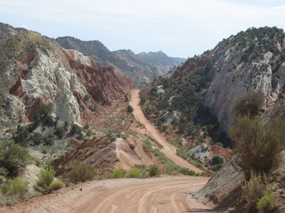
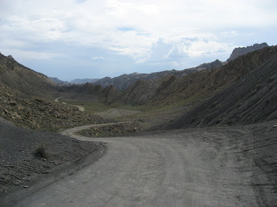
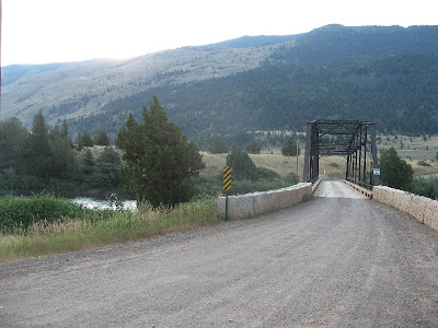
The perkinsville road is pretty easy.. it winds around some, & there's loose rock & gravel, but it's an easy ride for Kim's foot. But we got off the easy road, & went up another toward williams.. this road had lots of loose rocks, some big steps, plenty of blind curves.. a great road!
 |
| From rides |
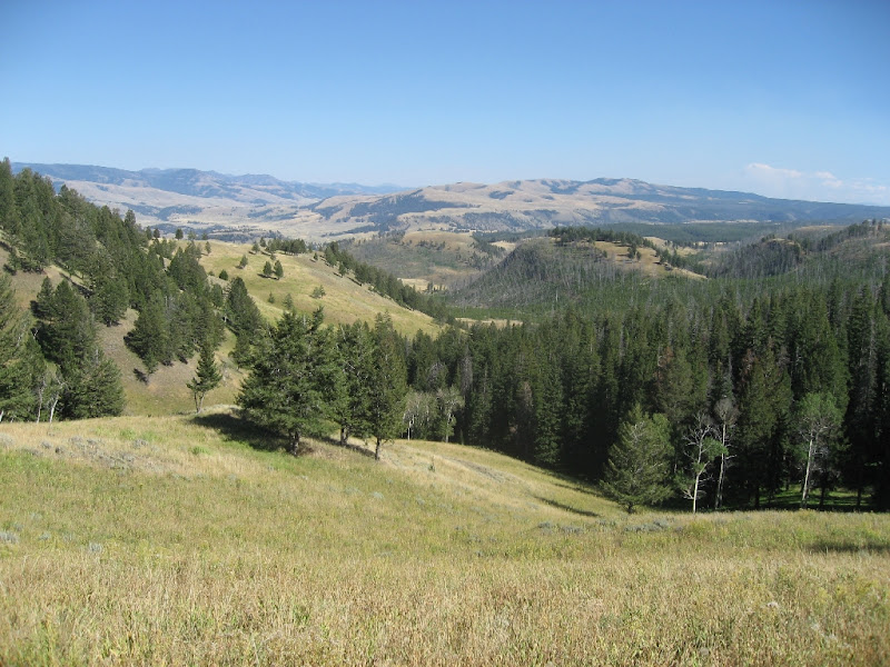
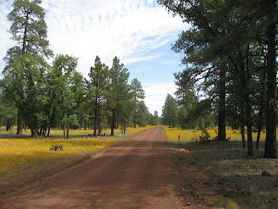
As we climbed higher in elevation, the wildflowers were blooming everywhere. There were big sections of bright yellow along the road & across the vistas intermittent patches of yellow dotted the views.
 |
| From rides |
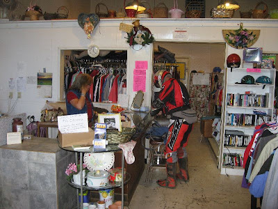
We made it to Williams around noon, gassed up & had lunch. Dark clouds were piling up, & it started to sprinkle. Tom had forgotten his jacket (we were just going up into the mountains, after all), so stopped at a local thrift store to buy a sweatshirt.
 |
| From rides |
He was a real hit with the ladies (as usual) in the thrift store.
Now is the section of few pictures. The rain was getting heavier, so we stopped & Kim & I put on our rain jackets. We were heading north across I-40 up to garland prairie road, then across old rt. 66 to wing mountain single track. Tom & I crossed under the freeway, then waited for Kim.
We waited some more.
I turned back to see if he slid off the road into a ditch.
No Kim.
We rode back to where we put on our jackets & waited.
No Kim.
I figured he turned off at the spot where we go toward garland prairie, lost us, then went on. The rain made visibility tough.. our goggles were wet & dripping. We rode up to the garland prairie turnoff, & then crossed the highway & got on old rt. 66. I checked my cell phone. Kim had left a message! He had turned onto the freeway in the rain (probably following a harley & thought it was Tom.. he gets that a lot..). He said he would continue in to Flagstaff, & go shopping at walmart.. I tried calling him back, but just got voicemail. I told him not to go to walmart, but turn back or exit at the navajo armory & wait for us. But he never got the message. We stopped after few miles & i called again. After a couple more stops, we made a connection! That's one nice thing about being along the freeway.. there is usually cell coverage.
Kim waited for us at the intersection of rt. 66 & the road to wing mtn.
The rain had finally stopped, & it was clearing off a little. We were back on dirt roads.. Tom & I had been on mostly dirt since williams.. we never got on the freeway. The gps showed a road going through to wing mtn, but we talked to a couple of hunters who said that road was closed. So we followed the gas pipeline road to the wing mtn loop road. There were some very steep, loose, & exciting hills along the pipeline road.. I went up one section that had an alternate route.. i thought i was going to lose it, but the back end bounced around, spun & bit, & finally made it to the top.
We made our way to the fence line where the coconino trail riders had made access to the wing mtn singletrack loop. They made it with permission from the forest service.. a great trail & lots of hard work.. Thanks, Guys!.
 |
| From rides |
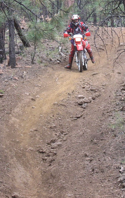
It had some pretty steep & narrow bits.. no one dropped, but with Kim's foot, & Tom on the big honda, it was tough with all the up & down, steep, rutted, narrow riding. So we didn't do the whole loop... & we lost part of it, anyway.
 |
| From rides |
Here's Tom in a short video clip.
 |
| From rides |
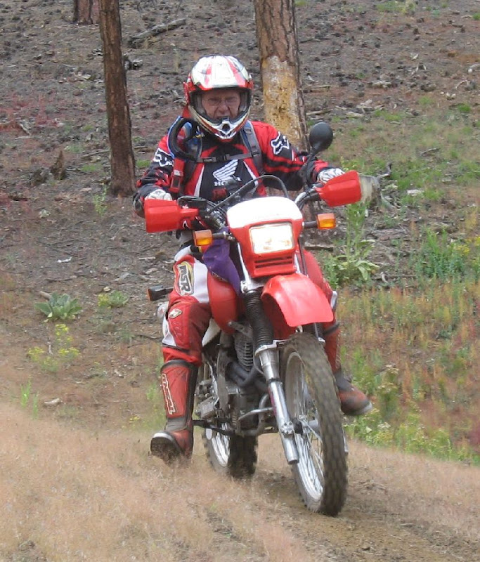
Here's a video with Kim:
This one had the steep. loose climb up toward the end. It didn't match what was on the gps track, so we turned back & came down.. a tough trail for tom's big 650 with high gearing. We came out on the main wing mtn loop road by the snow sledding & cross country skiing area. But it was getting late, so we decided to skip more single track & start heading south. Tom still had to ride all the way to Prescott!
We followed a road south back toward the freeway. It turned out to be worse than the single track! It was more of a river bed than a road. Big boulders were everywhere, but we kept going. I didn't take many stills, but here's a clip after we got through the worst of it.
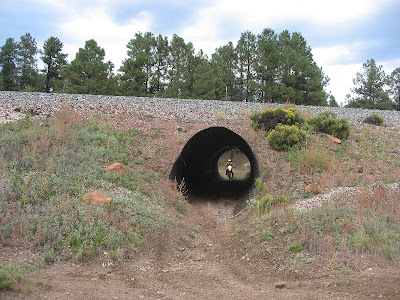
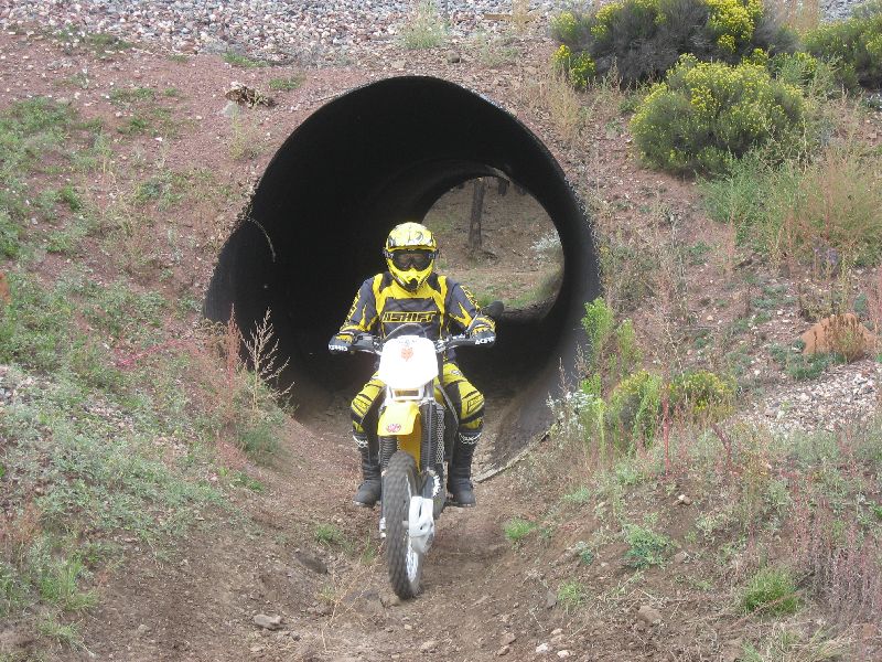
We crossed the freeway near the navajo army depot, but the roads that showed on the gps didn't go through.. someone had built train tracks there, & we couldn't cross. We followed the tracks for several miles, & finally found a big culvert under the tracks.
 |
| From rides |
 |
| From rides |
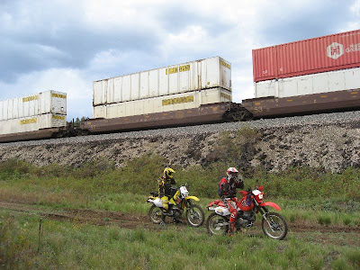
We only had to follow the other side a mile or so until we came to a trail heading south.. it wasn't on the gps, but was going the right direction. The train came after we went under the tunnel.
 |
| From rides |
There were some big meadows along the road south. The roads were easy, & after the rain, the dust was down. It hadn't rained enough to make mud. We continued south to fr 535, then took it to 89a above the oak creek canyon switchbacks.. back on pavement!
We descended the canyon.. i took a few more video clips following Tom down the switchbacks.
We got down to Sedona, & Tom continued south on 89a toward Jerome & Prescott, while Kim & I turned toward home. It was about 6:30 when i got home. We had covered over 200 miles, had rain, steep rocky roads, narrow single track, & even some paved twisties. This ride had it all, & no one crashed or got hurt or permanently lost.
I'd like to polish this route up a bit & make it a regular ride. It was much more interesting than i expected, & had a great variety of terrain, nice views, & elevation changes. temps were from the 60's to 80's. Elevations were from 4k to 8k.
Here's the map & track of the ride:
jerome2wing2sedona gpx track


